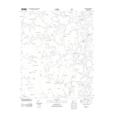
2011 Map of Prentiss
USGS Topo · Published 2011About this map
Little Tennessee River corridor industry and Appalachian geography define this 2011 record of Macon County. The landscape is marked by historic processing sites like Addington Mill, McClure Mill, and McDonald Mill, tracing a legacy of water-powered commerce along the valley. Settlement patterns center on Otto and Prentiss, while the higher elevations show the importance of the regional trail network through the Bigspring Gap Shelter and the Carter Gap Appalachian Trail Shelter. Notable topographic landmarks such as Yellow Bald, Albert Mountain, and its associated Albert Mountain Fire Tower stand as prominent features within the mountainous terrain. For genealogists, the map preserves the locations of the Rush Cemetery and Asbury Cemetery, providing specific coordinates for local family history research.
Find a feature on this map
193 named features on this map. Tap any name to fly to it.
Don’t see what you’re looking for? This feature index may not catch every label — zoom into the map to look around manually.
Map Details
Editions of this 2011 Prentiss Map
This is the sole edition of this map. No revisions or reprints were ever made.
Other maps of this area

1886 · Dahlonega
USGS Topo · 1:125,000

1886 · Walhalla
USGS Topo · 1:125,000

1891 · Cowee
USGS Topo · 1:125,000

1892 · Dahlonega
USGS Topo · 1:125,000

1892 · Walhalla
USGS Topo · 1:125,000

1896 · Walhalla
USGS Topo · 1:125,000

1896 · Dahlonega
USGS Topo · 1:125,000

1897 · Cowee
USGS Topo · 1:125,000

1903 · Dahlonega
USGS Topo · 1:125,000

1907 · Cowee
USGS Topo · 1:125,000