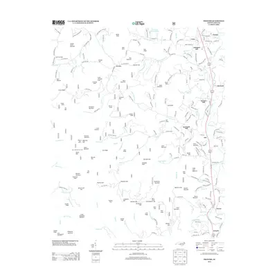
2013 Map of Prentiss
USGS Topo · Published 2013About this map
Albert Mountain Fire Tower overlooks a landscape of the southern Appalachians where high ridges meet agricultural valleys. This 2013 survey of the North Carolina high country documents the concentration of water-powered heritage along the Coweeta Cr and its tributaries, evidenced by Addington Mill, McClure Mill, and McDonald Mill. The settlement pattern follows the river bottomlands near Otto and Prentiss, while the high peaks are traversed by the Appalachian Trail, marked here at the Carter Gap Appalachian Trail Shelter. The transition from the steep terrain of Black Mountain to the rolling pastures near Union illustrates the traditional land use of the region, where forestry and farming have long coexisted. Road networks such as Old Georgia Rd and Old Murphy Rd trace historical travel corridors that predated the modern highway system, connecting communities like Riverside and Norton.
Find a feature on this map
180 named features on this map. Tap any name to fly to it.
Don’t see what you’re looking for? This feature index may not catch every label — zoom into the map to look around manually.
Map Details
Editions of this 2013 Prentiss Map
This is the sole edition of this map. No revisions or reprints were ever made.
Other maps of this area

1886 · Dahlonega
USGS Topo · 1:125,000

1886 · Walhalla
USGS Topo · 1:125,000

1891 · Cowee
USGS Topo · 1:125,000

1892 · Dahlonega
USGS Topo · 1:125,000

1892 · Walhalla
USGS Topo · 1:125,000

1896 · Walhalla
USGS Topo · 1:125,000

1896 · Dahlonega
USGS Topo · 1:125,000

1897 · Cowee
USGS Topo · 1:125,000

1903 · Dahlonega
USGS Topo · 1:125,000

1907 · Cowee
USGS Topo · 1:125,000