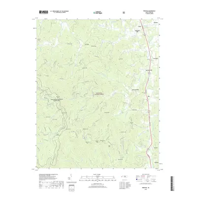
2019 Map of Prentiss
USGS Topo · Published 2019About this map
Little Tennessee River defines the eastern corridor of this terrain, where small settlements and milling operations once clustered along the riverbanks. The legacy of local industry is visible through Addington Mill, McClure Mill, and McDonald Mill, marking sites of economic importance in the rural landscape of Macon County. Small communities such as Otto, Riverside, and Prentiss are situated near the waterway, connected by the north-south transit of Georgia Rd.
Find a feature on this map
113 named features on this map. Tap any name to fly to it.
Don’t see what you’re looking for? This feature index may not catch every label — zoom into the map to look around manually.
Map Details
Editions of this 2019 Prentiss Map
This is the sole edition of this map. No revisions or reprints were ever made.
Other maps of this area

1886 · Dahlonega
USGS Topo · 1:125,000

1886 · Walhalla
USGS Topo · 1:125,000

1891 · Cowee
USGS Topo · 1:125,000

1892 · Dahlonega
USGS Topo · 1:125,000

1892 · Walhalla
USGS Topo · 1:125,000

1896 · Walhalla
USGS Topo · 1:125,000

1896 · Dahlonega
USGS Topo · 1:125,000

1897 · Cowee
USGS Topo · 1:125,000

1903 · Dahlonega
USGS Topo · 1:125,000

1907 · Cowee
USGS Topo · 1:125,000