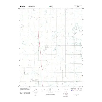
2009 Map of Prescott
USGS Topo · Published 2009About this map
Battlefield Cemetery sits in the northern reaches of this Linn County landscape, a site of local remembrance near the intersection of Thomas Rd and E 700th Rd. The township of Prescott serves as a central hub, defined by its grid of streets such as Upton Rd and E 300th Rd. This region is shaped by the drainage patterns of West Laberdie Creek and East Laberdie Creek, which flow southward toward the Little Osage River near the southern boundary. To the south, the map details the small settlements of Barnesville and Fulton, the latter located near the banks of Fish Creek. Genealogists will find significant value in the documentation of several rural burial grounds, including Holmes Cemetery, Fairview Cemetery, and Barnesville Cemetery, which are scattered throughout the agricultural parcels and winding country roads.
Find a feature on this map
36 named features on this map. Tap any name to fly to it.
Don’t see what you’re looking for? This feature index may not catch every label — zoom into the map to look around manually.
Map Details
Editions of this 2009 Prescott Map
This is the sole edition of this map. No revisions or reprints were ever made.
Other maps of this area

1884 · Fort Scott
USGS Topo · 1:125,000

1886 · Fort Scott
USGS Topo · 1:125,000

1887 · Mound City
USGS Topo · 1:125,000

1893 · Fort Scott
USGS Topo · 1:125,000

1893 · Mound City
USGS Topo · 1:125,000

1938 · Worland
USGS Topo · 1:24,000

1940 · Worland
USGS Topo · 1:24,000

1940 · Hume
USGS Topo · 1:24,000

1942 · Hume
USGS Topo · 1:24,000

1942 · Richards
USGS Topo · 1:24,000