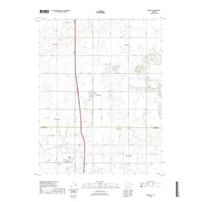
2018 Map of Prescott
USGS Topo · Published 2018About this map
The Little Osage River winds across the southern reaches of this eastern Kansas landscape, marking the transition between Linn and Bourbon counties. The town of Prescott serves as a central hub, where the local street grid including Green St and W Front St sits near the Prescott City Lake. The area's settlement history is documented through numerous burial sites, from Battlefield Cem in the north to the Saint Michael's Cem and Osaga Cem near Fulton. This topography reveals a rural economy shaped by waterways like Walnut Cr and E Laberdie Cr, which intersect a strictly partitioned section-line road network. The map preserves the placement of small communities like Barnesville and its associated Barnesville Cem, providing a clear view of the area's enduring rural character and the persistence of family-named landmarks.
Find a feature on this map
64 named features on this map. Tap any name to fly to it.
Don’t see what you’re looking for? This feature index may not catch every label — zoom into the map to look around manually.
Map Details
Editions of this 2018 Prescott Map
This is the sole edition of this map. No revisions or reprints were ever made.
Other maps of this area

1884 · Fort Scott
USGS Topo · 1:125,000

1886 · Fort Scott
USGS Topo · 1:125,000

1887 · Mound City
USGS Topo · 1:125,000

1893 · Fort Scott
USGS Topo · 1:125,000

1893 · Mound City
USGS Topo · 1:125,000

1938 · Worland
USGS Topo · 1:24,000

1940 · Worland
USGS Topo · 1:24,000

1940 · Hume
USGS Topo · 1:24,000

1942 · Hume
USGS Topo · 1:24,000

1942 · Richards
USGS Topo · 1:24,000