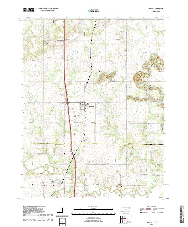
2022 Map of Prescott
USGS Topo · Published 2022About this map
The Little Osage River defines the southern portion of this landscape, winding through a region where the borders of Linn and Bourbon Counties meet. Centered on the town of Prescott, the map reveals a community defined by its grid of local streets like Green St and W Front St, positioned west of Prescott City Lake. The area is particularly dense with sites for genealogical research, including the prominent Battlefield Cem to the north and the cluster of Saint Michael's Ch and Osage Cem near the southern boundary.
Find a feature on this map
60 named features on this map. Tap any name to fly to it.
Don’t see what you’re looking for? This feature index may not catch every label — zoom into the map to look around manually.
Map Details
Editions of this 2022 Prescott Map
This is the sole edition of this map. No revisions or reprints were ever made.
Other maps of this area

1884 · Fort Scott
USGS Topo · 1:125,000

1886 · Fort Scott
USGS Topo · 1:125,000

1887 · Mound City
USGS Topo · 1:125,000

1893 · Fort Scott
USGS Topo · 1:125,000

1893 · Mound City
USGS Topo · 1:125,000

1938 · Worland
USGS Topo · 1:24,000

1940 · Worland
USGS Topo · 1:24,000

1940 · Hume
USGS Topo · 1:24,000

1942 · Hume
USGS Topo · 1:24,000

1942 · Richards
USGS Topo · 1:24,000