
1954 Map of Prescott
USGS Topo · Published 1963About this map
Prescott National Forest dominates the high-altitude geography of central Arizona on this 1950s survey, revised in the early 1960s. The region exhibits a landscape defined by intensive mining activity and the expansion of the Atchison Topeka and Santa Fe RR. Historic copper and gold districts are well-represented by the Bagdad Mine, the Tiger Mine, and the Black Pearl Mine. To the east, the settlement of Jerome clings to the Black Hills above the Verde River valley, while Prescott serves as the regional hub, situated adjacent to the Whipple Military Reservation. The map records a complex network of canyons and mesas, including the Aquarius Cliffs and Juniper Mesa, providing a detailed look at the drainage systems of the Bill Williams River and Santa Maria River before modern development altered these corridors.
Find a feature on this map
134 named features on this map. Tap any name to fly to it.
Don’t see what you’re looking for? This feature index may not catch every label — zoom into the map to look around manually.
Map Details
Editions of this 1954 Prescott Map
4 editions found
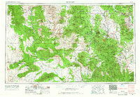
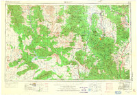
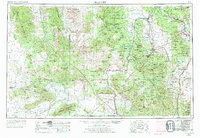
Other maps of this area

1886 · Diamond Creek
USGS Topo · 1:250,000

1886 · Camp Mohave
USGS Topo · 1:250,000

1886 · San Francisco Mtns
USGS Topo · 1:250,000

1886 · Chino
USGS Topo · 1:250,000

1887 · Verde
USGS Topo · 1:250,000

1887 · Prescott
USGS Topo · 1:250,000

1891 · San Francisco Mtns
USGS Topo · 1:250,000

1891 · Chino
USGS Topo · 1:250,000

1892 · Verde
USGS Topo · 1:250,000

1892 · Diamond Creek
USGS Topo · 1:250,000