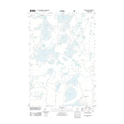
2011 Map of Presque Isle
USGS Topo · Published 2011About this map
Presque Isle sits at the heart of this lake-strewn landscape along the Wisconsin-Michigan border, defined by a dense network of glacial water bodies and narrow forest roads. The hydrology is dominated by massive features like Crab Lake, Big Crooked Lake, and Armour Lake, which are interconnected by smaller streams such as the S Br Presque Isle River and Rice Creek. The area's reliance on forestry and tourism is evident in the inclusion of the Stateline Lookout Tower and Wildcat Lookout, as well as the Boulder Junction Airport located near the southern margin. A complex web of access roads including County Hwy K, Lynx Lake Rd, and Crab Lake Rd indicates a high degree of seasonal habitation and recreational development around these named waters.
Find a feature on this map
91 named features on this map. Tap any name to fly to it.
Don’t see what you’re looking for? This feature index may not catch every label — zoom into the map to look around manually.
Map Details
Editions of this 2011 Presque Isle Map
This is the sole edition of this map. No revisions or reprints were ever made.
Other maps of this area

1939 · Trout Lake
USGS Topo · 1:48,000

1939 · Winchester
USGS Topo · 1:48,000

1946 · Winchester
USGS Topo · 1:48,000

1946 · Trout Lake
USGS Topo · 1:48,000

1949 · Trout Lake
USGS Topo · 1:48,000

1955 · Marenisco
USGS Topo · 1:62,500

1955 · Boulder Junction
USGS Topo · 1:62,500

1955 · Winchester
USGS Topo · 1:62,500

1955 · Wakefield
USGS Topo · 1:62,500

1958 · Iron River
USGS Topo · 1:250,000