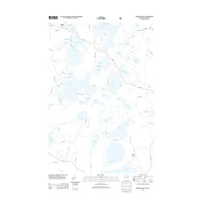
2013 Map of Presque Isle
USGS Topo · Published 2013About this map
Presque Isle serves as the focal point of this lake-studded landscape near the northern border, where the S Br Presque Isle River winds through a dense network of glacial water bodies. The terrain is defined by its recreation-oriented infrastructure, featuring numerous named access points like Town Dock Rd and Diamond Point Dr. Prominent high points such as the Stateline Lookout Tower and Wildcat Lookout provide vantage points over the timbered tracts, while the Boulder Junction Airport marks the southern edge of the survey area. Smaller, uniquely named basins like Hells Kitchen Lake and Canteen Lake are interspersed among larger waters like Crab Lake and Annabelle Lake, illustrating the complex hydrology of this Northwoods region. Local transportation relies on a web of county highways including Co HWY-W and Co HWY-B that connect these remote waterfront communities.
Find a feature on this map
95 named features on this map. Tap any name to fly to it.
Don’t see what you’re looking for? This feature index may not catch every label — zoom into the map to look around manually.
Map Details
Editions of this 2013 Presque Isle Map
This is the sole edition of this map. No revisions or reprints were ever made.
Other maps of this area

1939 · Trout Lake
USGS Topo · 1:48,000

1939 · Winchester
USGS Topo · 1:48,000

1946 · Winchester
USGS Topo · 1:48,000

1946 · Trout Lake
USGS Topo · 1:48,000

1949 · Trout Lake
USGS Topo · 1:48,000

1955 · Marenisco
USGS Topo · 1:62,500

1955 · Boulder Junction
USGS Topo · 1:62,500

1955 · Winchester
USGS Topo · 1:62,500

1955 · Wakefield
USGS Topo · 1:62,500

1958 · Iron River
USGS Topo · 1:250,000