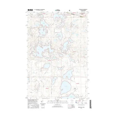
2015 Map of Presque Isle
USGS Topo · Published 2015About this map
Presque Isle sits at the northern edge of this Northwoods landscape, where the state line meets the Ottawa National Forest. The area is defined by an intricate network of glacial lakes and waterways, connected by forest roads like Co Rd B and Co Rd K. The sprawling, multi-lobed Crab Lake and the expansive Big Crooked Lake dominate the central and southern portions of the terrain, while the meandering Rice Creek provides a vital hydrological link between several smaller basins. To the southeast, the Boulder Junction Payzer Airport marks a modern point of arrival for this recreational corridor. The map reveals a dense concentration of named water bodies, including Bear Lake, Wolf Lake, and Lynx Lake, illustrating the complex drainage patterns that have historically shaped local settlement and the Northwoods timber and tourism economy.
Find a feature on this map
106 named features on this map. Tap any name to fly to it.
Don’t see what you’re looking for? This feature index may not catch every label — zoom into the map to look around manually.
Map Details
Editions of this 2015 Presque Isle Map
This is the sole edition of this map. No revisions or reprints were ever made.
Other maps of this area

1939 · Trout Lake
USGS Topo · 1:48,000

1939 · Winchester
USGS Topo · 1:48,000

1946 · Winchester
USGS Topo · 1:48,000

1946 · Trout Lake
USGS Topo · 1:48,000

1949 · Trout Lake
USGS Topo · 1:48,000

1955 · Marenisco
USGS Topo · 1:62,500

1955 · Boulder Junction
USGS Topo · 1:62,500

1955 · Winchester
USGS Topo · 1:62,500

1955 · Wakefield
USGS Topo · 1:62,500

1958 · Iron River
USGS Topo · 1:250,000