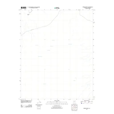
2011 Map of Preston Well
USGS Topo · Published 2011About this map
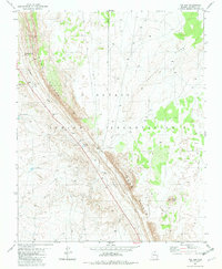
Preston Well and several other dispersed water sources define the survival and movement patterns in this corner of Coconino County. The map documents a landscape where life centers on specific named wells, many bearing family-derived names such as Bahe Adakai Well and Benally Well. These scattered points of reliability are connected by a sparse network of roads, notably Indian Rte 6731, which traverses the high desert terrain. The northern section is dominated by the prominence of Crooked Ridge, a significant natural landmark that dictates the drainage and trail patterns of the area. This 2011 survey illustrates a region where water rights and access points like Tapaha Well and White Sand Well remain the most critical features for land management and local navigation.
Find a feature on this map
11 named features on this map. Tap any name to fly to it.
Don’t see what you’re looking for? This feature index may not catch every label — zoom into the map to look around manually.
Map Details
Editions of this 2011 Preston Well Map
This is the sole edition of this map. No revisions or reprints were ever made.
Other maps of this area

1886 · Echo Cliffs
USGS Topo · 1:250,000

1891 · Echo Cliffs
USGS Topo · 1:250,000

1955 · Moa Ave NW
USGS Topo · 1:24,000

1956 · Marble Canyon
USGS Topo · 1:250,000
1957 · The Gap SW
USGS Topo · 1:24,000

1959 · Marble Canyon
USGS Topo · 1:250,000

1961 · Marble Canyon
USGS Topo · 1:250,000
1969 · Tuba City
USGS Topo · 1:24,000
1969 · Moenave
USGS Topo · 1:24,000
1981 · The Gap
USGS Topo · 1:24,000