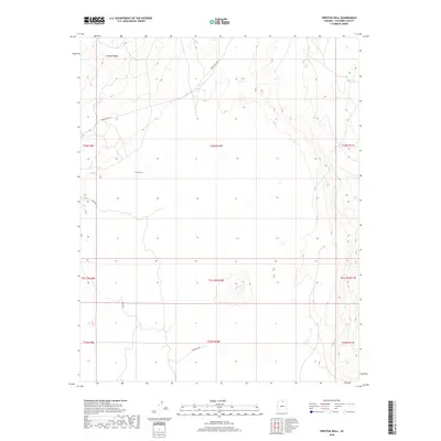
2018 Map of Preston Well
USGS Topo · Published 2018About this map
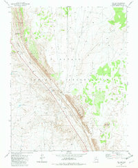
Preston Well sits at the heart of this high-desert landscape in Coconino County, serving as a primary named landmark within an area defined by significant topographical shifts. The terrain is marked by the presence of Crooked Ridge in the northwest, while the southeastern portions of the map reveal the sharp descent into the deeper canyon systems of the region. Transportation across this arid environment is facilitated by Indian Rte 6231 and the Tuba Gap Trl, which provide vital passage through the varied elevations. The map provides a clear view of the township and range survey lines, including t34n r10e and t33.5n r10e, illustrating the precise grid superimposed over the natural landforms of northern Arizona during this period of the twenty-first century.
Find a feature on this map
13 named features on this map. Tap any name to fly to it.
Don’t see what you’re looking for? This feature index may not catch every label — zoom into the map to look around manually.
Map Details
Editions of this 2018 Preston Well Map
This is the sole edition of this map. No revisions or reprints were ever made.
Other maps of this area

1886 · Echo Cliffs
USGS Topo · 1:250,000

1891 · Echo Cliffs
USGS Topo · 1:250,000

1955 · Moa Ave NW
USGS Topo · 1:24,000

1956 · Marble Canyon
USGS Topo · 1:250,000
1957 · The Gap SW
USGS Topo · 1:24,000

1959 · Marble Canyon
USGS Topo · 1:250,000

1961 · Marble Canyon
USGS Topo · 1:250,000
1969 · Tuba City
USGS Topo · 1:24,000
1969 · Moenave
USGS Topo · 1:24,000
1981 · The Gap
USGS Topo · 1:24,000