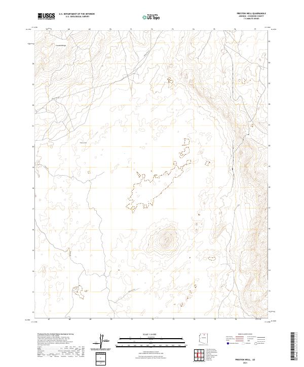
2021 Map of Preston Well
USGS Topo · Published 2021About this map
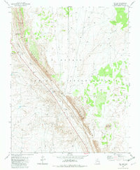
Preston Well serves as the central focal point in this high-desert region of Coconino County, where the infrastructure of water and movement dictates the character of the land. The terrain is dominated by the long, elevated formation of Crooked Ridge in the northwest, which shapes the local drainage and travel patterns. Communication and transport across these arid flats are facilitated by Indian Rte 6231, while more traditional routes like Tuba Gap and the Tuba Gap Trl provide access through the complex topography of the gap. The map meticulously records the Public Land Survey System grid, including boundaries for t34n r10e and t33.5n r10e, illustrating the systematic division of this remote landscape.
Find a feature on this map
15 named features on this map. Tap any name to fly to it.
Don’t see what you’re looking for? This feature index may not catch every label — zoom into the map to look around manually.
Map Details
Editions of this 2021 Preston Well Map
This is the sole edition of this map. No revisions or reprints were ever made.
Other maps of this area

1886 · Echo Cliffs
USGS Topo · 1:250,000

1891 · Echo Cliffs
USGS Topo · 1:250,000

1955 · Moa Ave NW
USGS Topo · 1:24,000

1956 · Marble Canyon
USGS Topo · 1:250,000
1957 · The Gap SW
USGS Topo · 1:24,000

1959 · Marble Canyon
USGS Topo · 1:250,000

1961 · Marble Canyon
USGS Topo · 1:250,000
1969 · Tuba City
USGS Topo · 1:24,000
1969 · Moenave
USGS Topo · 1:24,000
1981 · The Gap
USGS Topo · 1:24,000