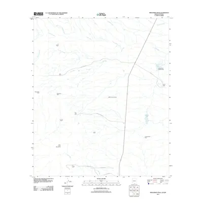
2011 Map of Presumido Peak
USGS Topo · Published 2011About this map
Presumido Peak and the Pozo Verde Mountains anchor this arid landscape in the Chukut Kuk District, where water is the primary driver of geography. Seasonal drainages such as Los Encinos Wash and Aros Wash carve across the basin, leading toward rare water features like Mormon Lake and Aguirre Lake. The map reveals a land organized by cattle ranching, with established sites like Los Encinos Ranch, Sierra Vista Ranch, and Carrizo Ranch distributed along the foothills and flats.
Find a feature on this map
29 named features on this map. Tap any name to fly to it.
Don’t see what you’re looking for? This feature index may not catch every label — zoom into the map to look around manually.
Map Details
Editions of this 2011 Presumido Peak Map
This is the sole edition of this map. No revisions or reprints were ever made.
Other maps of this area

1920 · Arivaca
USGS Topo · 1:125,000

1921 · Old Glory
USGS Topo · 1:125,000

1941 · Presumido Peak
USGS Topo · 1:62,500

1941 · Arivaca
USGS Topo · 1:62,500

1942 · Oro Blanco
USGS Topo · 1:62,500

1943 · Fresnal
USGS Topo · 1:125,000

1943 · Arivaca
USGS Topo · 1:62,500

1943 · Old Glory
USGS Topo · 1:125,000

1943 · Presumido Peak
USGS Topo · 1:62,500

1944 · Oro Blanco
USGS Topo · 1:62,500