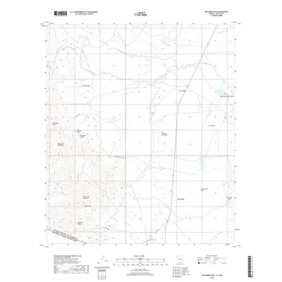
2018 Map of Presumido Peak
USGS Topo · Published 2018About this map
The United States and Mexico border defines the southern reach of this Pima County landscape, where the high desert meets the steep slopes of the Baboquivari Mountains and Pozo Verde Mountains. In this arid environment, the drainage patterns of numerous ephemeral waterways, including Gallineta Wash, Aros Wash, and La Osa Wash, dictate the geography of the Altar Valley. The map reveals a remote ranching and transit landscape, characterized by isolated landmarks such as Presumido Peak and Aguirre Lake. Notable for its physical barriers and natural corridors, the area includes the narrow Presumido Pass and the suggestively named Smugglers Canyon. Human presence is marked by sparse infrastructure like Sierra Vista Ranch Rd and La Osa Ranch Rd, which navigate the broad Compartidero Flats near the international boundary.
Find a feature on this map
31 named features on this map. Tap any name to fly to it.
Don’t see what you’re looking for? This feature index may not catch every label — zoom into the map to look around manually.
Map Details
Editions of this 2018 Presumido Peak Map
This is the sole edition of this map. No revisions or reprints were ever made.
Other maps of this area

1920 · Arivaca
USGS Topo · 1:125,000

1921 · Old Glory
USGS Topo · 1:125,000

1941 · Presumido Peak
USGS Topo · 1:62,500

1941 · Arivaca
USGS Topo · 1:62,500

1942 · Oro Blanco
USGS Topo · 1:62,500

1943 · Fresnal
USGS Topo · 1:125,000

1943 · Arivaca
USGS Topo · 1:62,500

1943 · Old Glory
USGS Topo · 1:125,000

1943 · Presumido Peak
USGS Topo · 1:62,500

1944 · Oro Blanco
USGS Topo · 1:62,500