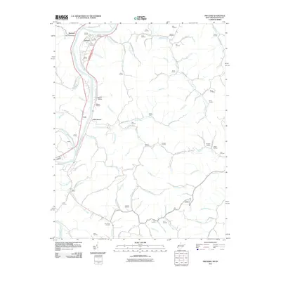
2011 Map of Prichard
USGS Topo · Published 2011About this map
The Big Sandy River forms a natural border through this landscape, with the CSX Railroad tracking its winding course through the valley. This 2011 survey documents a corridor of long-established settlements and family cemeteries that define the local geography, including Prichard and Hubbardstown. The distribution of burial grounds such as Shannon Cemetery, Hanley Cemetery, and Lakin Cemetery indicates a deeply rooted genealogical history tied to the surrounding hollows like Belcher Hollow and Puckett Hollow.
Find a feature on this map
101 named features on this map. Tap any name to fly to it.
Don’t see what you’re looking for? This feature index may not catch every label — zoom into the map to look around manually.
Map Details
Editions of this 2011 Prichard Map
This is the sole edition of this map. No revisions or reprints were ever made.
Other maps of this area

1892 · Huntington
USGS Topo · 1:125,000

1898 · Huntington
USGS Topo · 1:125,000

1901 · Guyandot
USGS Topo · 1:62,500

1901 · Ceredo
USGS Topo · 1:62,500

1902 · Guyandot
USGS Topo · 1:62,500

1903 · Kenova
USGS Topo · 1:125,000

1904 · Kenova
USGS Topo · 1:125,000

1909 · Wayne
USGS Topo · 1:62,500

1911 · Louisa
USGS Topo · 1:48,000

1913 · Ceredo
USGS Topo · 1:62,500