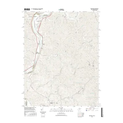
2016 Map of Prichard
USGS Topo · Published 2016About this map
The Big Sandy River serves as the central artery and natural boundary between Lawrence County, Kentucky, and Wayne County, West Virginia, on this 2016 survey. This river corridor has historically dictated the settlement patterns of the region, with small communities like Prichard and Buchanan positioned near its banks. Further south, the map illustrates the crossing at Fort Gay and the nearby Mineral Springs. The landscape is defined by its numerous tributary branches and hollows, such as Belcher Hollow and Puckett Hollow, which weave between ridges like Pine Ridge and Crabtree Hill.
Find a feature on this map
123 named features on this map. Tap any name to fly to it.
Don’t see what you’re looking for? This feature index may not catch every label — zoom into the map to look around manually.
Map Details
Editions of this 2016 Prichard Map
This is the sole edition of this map. No revisions or reprints were ever made.
Other maps of this area

1892 · Huntington
USGS Topo · 1:125,000

1898 · Huntington
USGS Topo · 1:125,000

1901 · Guyandot
USGS Topo · 1:62,500

1901 · Ceredo
USGS Topo · 1:62,500

1902 · Guyandot
USGS Topo · 1:62,500

1903 · Kenova
USGS Topo · 1:125,000

1904 · Kenova
USGS Topo · 1:125,000

1909 · Wayne
USGS Topo · 1:62,500

1911 · Louisa
USGS Topo · 1:48,000

1913 · Ceredo
USGS Topo · 1:62,500