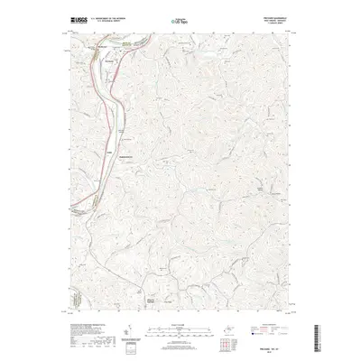
2019 Map of Prichard
USGS Topo · Published 2019About this map
Prichard and the surrounding borderlands of the Big Sandy River are captured here during a period of modern transit and deep-rooted family history. The topography is defined by the sharp divides between the river valley and the high ridges of Crabtree Hill and Cyrus Mountain Dr. The transportation corridor is anchored by the CSX Transportation rail line and the Tolsia Hwy, which connect small communities like Zelda and Hubbardstown. For the genealogist, the map is an exceptional record of family burial grounds scattered across the hollows, including the Blair- Hatton Cem, Damron Cem, and the remote Billups Gap Cem. The landscape remains etched with legacy names such as Puckett Hollow and Belcher Hollow, revealing a persistent settlement pattern where residences hug the narrow runs and creek beds like Whites Cr and Hurricane Cr.
Find a feature on this map
124 named features on this map. Tap any name to fly to it.
Don’t see what you’re looking for? This feature index may not catch every label — zoom into the map to look around manually.
Map Details
Editions of this 2019 Prichard Map
This is the sole edition of this map. No revisions or reprints were ever made.
Other maps of this area

1892 · Huntington
USGS Topo · 1:125,000

1898 · Huntington
USGS Topo · 1:125,000

1901 · Guyandot
USGS Topo · 1:62,500

1901 · Ceredo
USGS Topo · 1:62,500

1902 · Guyandot
USGS Topo · 1:62,500

1903 · Kenova
USGS Topo · 1:125,000

1904 · Kenova
USGS Topo · 1:125,000

1909 · Wayne
USGS Topo · 1:62,500

1911 · Louisa
USGS Topo · 1:48,000

1913 · Ceredo
USGS Topo · 1:62,500