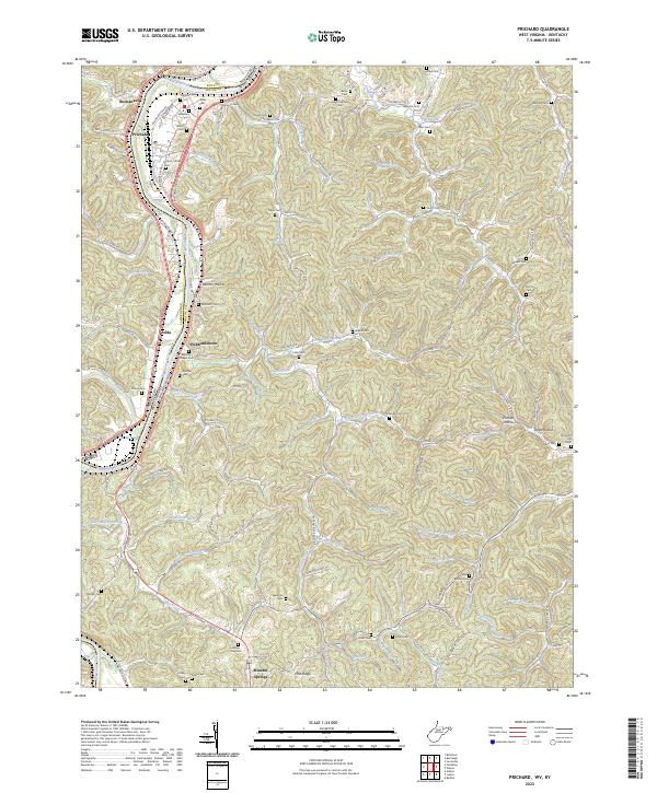
2023 Map of Prichard
USGS Topo · Published 2023About this map
The Big Sandy River forms a natural border between West Virginia and Kentucky in this survey of the tri-county area involving Boyd, Lawrence, and Wayne counties. The landscape is defined by the heavy winding of the river and the tight valleys of its tributaries, including Hurricane Creek and Tabors Creek. Along the river's eastern bank, the Csx Transportation rail line runs parallel to US Rte 52, connecting the settlements of Prichard and Zelda.
Find a feature on this map
117 named features on this map. Tap any name to fly to it.
Don’t see what you’re looking for? This feature index may not catch every label — zoom into the map to look around manually.
Map Details
Editions of this 2023 Prichard Map
This is the sole edition of this map. No revisions or reprints were ever made.
Other maps of this area

1892 · Huntington
USGS Topo · 1:125,000

1898 · Huntington
USGS Topo · 1:125,000

1901 · Guyandot
USGS Topo · 1:62,500

1901 · Ceredo
USGS Topo · 1:62,500

1902 · Guyandot
USGS Topo · 1:62,500

1903 · Kenova
USGS Topo · 1:125,000

1904 · Kenova
USGS Topo · 1:125,000

1909 · Wayne
USGS Topo · 1:62,500

1911 · Louisa
USGS Topo · 1:48,000

1913 · Ceredo
USGS Topo · 1:62,500