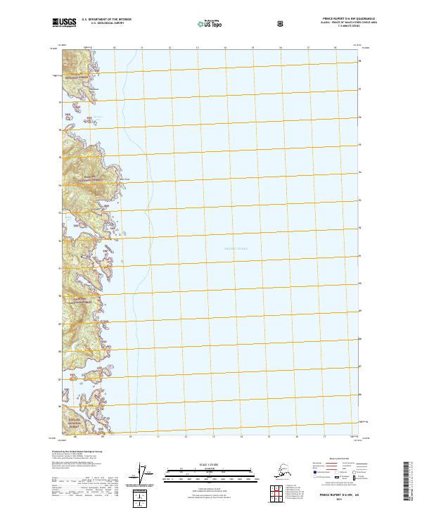
2021 Map of Prince Rupert D-6 NW
USGS Topo · Published 2021About this map
Tongass National Forest dominates this coastal stretch of the Alexander Archipelago, where the land meets the Pacific Ocean through a series of protected inlets and rocky headlands. The terrain is characterized by the deep indentations of Ingraham Bay and the more secluded Hidden Bay, providing natural shelter along a shoreline that has long supported local maritime activity and timber interests. Navigation and coastal orientation are marked by prominent geographical features such as Ingraham Point to the north and Scott Point further south. This 2021 survey illustrates the intersection of vast federal forest lands and the intricate hydrology of the Alaskan coast, detailing the land divisions of t79s r89e and t80s r89e that define the administrative geography of the Prince of Wales-Hyder Census Area.
Find a feature on this map
10 named features on this map. Tap any name to fly to it.
Don’t see what you’re looking for? This feature index may not catch every label — zoom into the map to look around manually.
Map Details
Editions of this 2021 Prince Rupert D-6 NW Map
This is the sole edition of this map. No revisions or reprints were ever made.
Other maps of this area

1948 · Prince Rupert D-6
USGS Topo · 1:63,360

1948 · Ketchikan A-6
USGS Topo · 1:63,360

1948 · Craig A-1
USGS Topo · 1:63,360

1948 · Dixon Entrance D-1
USGS Topo · 1:63,360

1951 · Prince Rupert
USGS Topo · 1:250,000

1951 · Dixon Entrance
USGS Topo · 1:250,000

1951 · Prince Rupert D-6
USGS Topo · 1:63,360

1952 · Ketchikan
USGS Topo · 1:250,000

1955 · Ketchikan
USGS Topo · 1:250,000

1957 · Craig
USGS Topo · 1:250,000