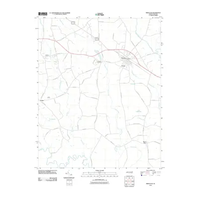
2010 Map of Princeton
USGS Topo · Published 2010About this map
Princeton serves as the primary hub of this eastern Johnston County landscape, situated near the confluence of several local waterways including Little River and Moccasin Creek. The settlement pattern follows a dense network of rural roads such as Old Cornwallis Rd and Gurleys Mill Rd, connecting outlying communities like Delwood, Brogden, and Raynor Town. The southern portion of the sheet is defined by the winding course of the Neuse River and the swampy lowlands of The Cowbone, while the industrial and civic center of the region is anchored by the Princeton Post Office and local landmarks like the Holts Mill Pond Dam. This survey documents a transition from established town centers to the surrounding agricultural and timber lands, marked by family-named sites such as Thompson Cemetery and Overby Cemetery, which offer valuable points of reference for genealogical research and local historical study.
Find a feature on this map
65 named features on this map. Tap any name to fly to it.
Don’t see what you’re looking for? This feature index may not catch every label — zoom into the map to look around manually.
Map Details
Editions of this 2010 Princeton Map
This is the sole edition of this map. No revisions or reprints were ever made.
Other maps of this area

1902 · Kenly
USGS Topo · 1:62,500

1903 · Kenly
USGS Topo · 1:62,500

1906 · Four Oaks
USGS Topo · 1:48,000

1908 · Four Oaks
USGS Topo · 1:62,500

1953 · Raleigh
USGS Topo · 1:250,000

1954 · Raleigh
USGS Topo · 1:250,000

1964 · Selma
USGS Topo · 1:62,500

1964 · Selma
USGS Topo · 1:24,000

1974 · Grantham
USGS Topo · 1:24,000

1974 · Northwest Goldsboro
USGS Topo · 1:24,000