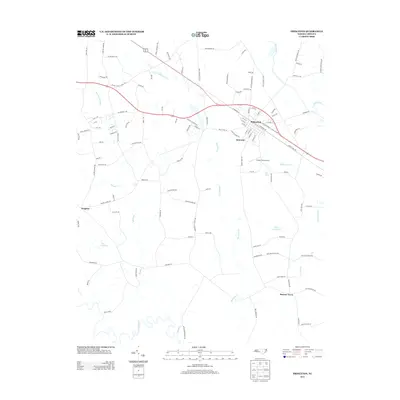
2013 Map of Princeton
USGS Topo · Published 2013About this map
Princeton serves as the primary hub on this Johnston County map, situated along the corridor of Highway 70 and the railroad. The surrounding landscape is defined by the winding course of the Neuse River to the south and Moccasin Creek cutting through the center. Small settlements like Delwood, Brogden, and Raynor Town are connected by a network of rural roads, many bearing family names like Bizzell Braswell Rd and Wellons Boyette Rd, which reflect the area's agricultural lineage. Aviation history is noted at Hinton Field Airport, while the hydrology of the coastal plain is evident in features like Quincosin Swamp and The Cowbone. The presence of Lake Lauderdale and Keen Pond adds to the diverse water systems feeding into the Little River and Beaverdam Creek.
Find a feature on this map
117 named features on this map. Tap any name to fly to it.
Don’t see what you’re looking for? This feature index may not catch every label — zoom into the map to look around manually.
Map Details
Editions of this 2013 Princeton Map
This is the sole edition of this map. No revisions or reprints were ever made.
Other maps of this area

1902 · Kenly
USGS Topo · 1:62,500

1903 · Kenly
USGS Topo · 1:62,500

1906 · Four Oaks
USGS Topo · 1:48,000

1908 · Four Oaks
USGS Topo · 1:62,500

1953 · Raleigh
USGS Topo · 1:250,000

1954 · Raleigh
USGS Topo · 1:250,000

1964 · Selma
USGS Topo · 1:62,500

1964 · Selma
USGS Topo · 1:24,000

1974 · Grantham
USGS Topo · 1:24,000

1974 · Northwest Goldsboro
USGS Topo · 1:24,000