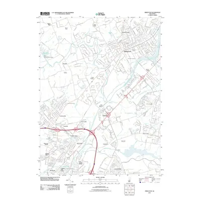
2011 Map of Princeton
USGS Topo · Published 2011About this map
Princeton serves as the academic and cultural anchor of this central New Jersey landscape, where the historic Princeton University campus and Princeton Cemetery sit north of the iconic Carnegie Lake. The map reveals a densely interwoven network of suburban development and preserved corridors, notably the Delaware and Raritan Canal which winds through the southern half of the quadrangle. This waterway passes near numerous established communities like Penns Neck, Clarksville, and Princessville, illustrating the enduring influence of early transportation routes on modern regional growth.
Find a feature on this map
53 named features on this map. Tap any name to fly to it.
Don’t see what you’re looking for? This feature index may not catch every label — zoom into the map to look around manually.
Map Details
Editions of this 2011 Princeton Map
This is the sole edition of this map. No revisions or reprints were ever made.
Other maps of this area

1888 · Bordentown
USGS Topo · 1:62,500

1888 · Princeton
USGS Topo · 1:62,500

1890 · Lambertville
USGS Topo · 1:62,500

1890 · Burlington
USGS Topo · 1:62,500

1891 · Lambertville
USGS Topo · 1:62,500

1893 · Bordentown
USGS Topo · 1:62,500

1893 · Burlington
USGS Topo · 1:62,500

1894 · Princeton
USGS Topo · 1:62,500

1894 · Lambertville
USGS Topo · 1:62,500

1904 · Burlington
USGS Topo · 1:62,500