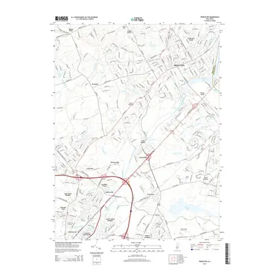
2014 Map of Princeton
USGS Topo · Published 2014About this map
Princeton and its surrounding townships are shown here during a period of sustained academic and suburban density, anchored by the sprawling Princeton Univ campus. The historic Delaware and Raritan Canal cuts through the center of the sheet, running parallel to the winding Stony Brook and the expansive Carnegie Lake. This water network once served as a primary transportation corridor and now defines the region's parklands and natural boundaries.
Find a feature on this map
96 named features on this map. Tap any name to fly to it.
Don’t see what you’re looking for? This feature index may not catch every label — zoom into the map to look around manually.
Map Details
Editions of this 2014 Princeton Map
This is the sole edition of this map. No revisions or reprints were ever made.
Other maps of this area

1888 · Bordentown
USGS Topo · 1:62,500

1888 · Princeton
USGS Topo · 1:62,500

1890 · Lambertville
USGS Topo · 1:62,500

1890 · Burlington
USGS Topo · 1:62,500

1891 · Lambertville
USGS Topo · 1:62,500

1893 · Bordentown
USGS Topo · 1:62,500

1893 · Burlington
USGS Topo · 1:62,500

1894 · Princeton
USGS Topo · 1:62,500

1894 · Lambertville
USGS Topo · 1:62,500

1904 · Burlington
USGS Topo · 1:62,500