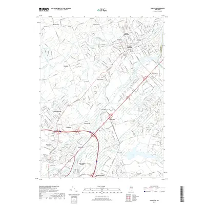
2019 Map of Princeton
USGS Topo · Published 2019About this map
Princeton University and the historic Borough of Princeton anchor this 2019 survey, showcasing a landscape where academic tradition meets extensive preserved natural areas. The Delaware and Raritan Canal cuts a distinct path through the center, passing by Port Mercer and Clarksville as it follows the valley floor. Educational institutions are exceptionally prominent, with Princeton Theological Seminary, Westminster Choir College, and Rider University all mapped in detail alongside their respective campus layouts.
Find a feature on this map
122 named features on this map. Tap any name to fly to it.
Don’t see what you’re looking for? This feature index may not catch every label — zoom into the map to look around manually.
Map Details
Editions of this 2019 Princeton Map
This is the sole edition of this map. No revisions or reprints were ever made.
Other maps of this area

1888 · Bordentown
USGS Topo · 1:62,500

1888 · Princeton
USGS Topo · 1:62,500

1890 · Lambertville
USGS Topo · 1:62,500

1890 · Burlington
USGS Topo · 1:62,500

1891 · Lambertville
USGS Topo · 1:62,500

1893 · Bordentown
USGS Topo · 1:62,500

1893 · Burlington
USGS Topo · 1:62,500

1894 · Princeton
USGS Topo · 1:62,500

1894 · Lambertville
USGS Topo · 1:62,500

1904 · Burlington
USGS Topo · 1:62,500