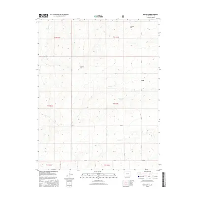
2016 Map of Pritchett NW
USGS Topo · Published 2016About this map
Graft stands as a focal point of settlement in this northern portion of Baca County, where the high plains are carved by a network of drainage systems. The landscape is defined by the ephemeral watercourses of Arrasmith Draw and Antelope Draw, which channel seasonal runoff toward larger creek beds. The importance of water management in this arid region is evidenced by the Plum Cr Stock Reservoir, a critical infrastructure point for local ranching operations. Several significant waterways, including Freezeout Cr, Plum Cr, and Bear Cr, wind through the terrain, dictating the placement of the county road grid. The survey reflects the enduring cattle-country character of the Colorado plains, where large-scale township divisions like t29s r49w and t30s r49w organize the vast, open range.
Find a feature on this map
21 named features on this map. Tap any name to fly to it.
Don’t see what you’re looking for? This feature index may not catch every label — zoom into the map to look around manually.
Map Details
Editions of this 2016 Pritchett NW Map
This is the sole edition of this map. No revisions or reprints were ever made.
Other maps of this area

1891 · Higbee
USGS Topo · 1:125,000

1891 · Springfield
USGS Topo · 1:125,000

1892 · Two Butte
USGS Topo · 1:125,000

1892 · Mt Carrizo
USGS Topo · 1:125,000

1893 · Higbee
USGS Topo · 1:125,000

1893 · Two Butte
USGS Topo · 1:125,000

1893 · Springfield
USGS Topo · 1:125,000

1955 · La Junta
USGS Topo · 1:250,000

1958 · La Junta
USGS Topo · 1:250,000

1968 · La Junta
USGS Topo · 1:250,000