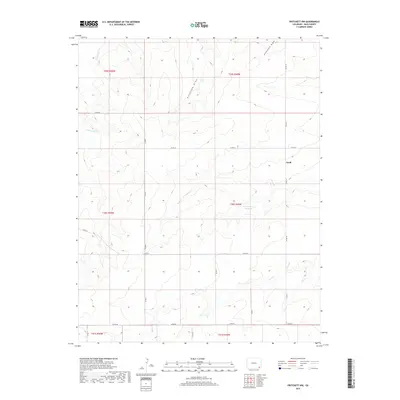
2019 Map of Pritchett NW
USGS Topo · Published 2019About this map
Graft stands as a focal point in this portion of Baca County, where the high plains landscape is defined by a network of seasonal watercourses and local ranch roads. The drainage patterns of Freezecout Cr and Arrasmith Draw suggest the importance of watershed management in this semi-arid environment, a necessity further evidenced by the Plum Cr Stock Reservoir located along Plum Cr. The map reveals a systematic grid of county infrastructure, including Co RD KK and Co RD JJ, which connect the disparate corners of the township system. This 2019 data illustrates the persistent rural character of the region, where wide-reaching draws like Antelope Draw and the southern reaches of Bear Cr dictate the layout of land use and transit between scattered settlements.
Find a feature on this map
17 named features on this map. Tap any name to fly to it.
Don’t see what you’re looking for? This feature index may not catch every label — zoom into the map to look around manually.
Map Details
Editions of this 2019 Pritchett NW Map
This is the sole edition of this map. No revisions or reprints were ever made.
Other maps of this area

1891 · Higbee
USGS Topo · 1:125,000

1891 · Springfield
USGS Topo · 1:125,000

1892 · Two Butte
USGS Topo · 1:125,000

1892 · Mt Carrizo
USGS Topo · 1:125,000

1893 · Higbee
USGS Topo · 1:125,000

1893 · Two Butte
USGS Topo · 1:125,000

1893 · Springfield
USGS Topo · 1:125,000

1955 · La Junta
USGS Topo · 1:250,000

1958 · La Junta
USGS Topo · 1:250,000

1968 · La Junta
USGS Topo · 1:250,000