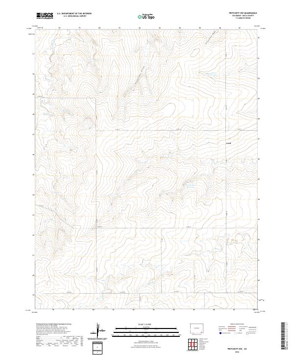
2022 Map of Pritchett NW
USGS Topo · Published 2022About this map
Graft stands as a primary point of interest in this high plains landscape of southeastern Colorado. The map reveals a region defined by an intricate network of intermittent drainage systems, including Freezecout Cr in the northwest and Bear Cr to the south. These natural features are essential to the local agricultural geography, evidenced by infrastructure like the Plum Cr Stock Reservoir along the banks of Plum Cr.
Find a feature on this map
21 named features on this map. Tap any name to fly to it.
Don’t see what you’re looking for? This feature index may not catch every label — zoom into the map to look around manually.
Map Details
Editions of this 2022 Pritchett NW Map
This is the sole edition of this map. No revisions or reprints were ever made.
Other maps of this area

1891 · Higbee
USGS Topo · 1:125,000

1891 · Springfield
USGS Topo · 1:125,000

1892 · Two Butte
USGS Topo · 1:125,000

1892 · Mt Carrizo
USGS Topo · 1:125,000

1893 · Higbee
USGS Topo · 1:125,000

1893 · Two Butte
USGS Topo · 1:125,000

1893 · Springfield
USGS Topo · 1:125,000

1955 · La Junta
USGS Topo · 1:250,000

1958 · La Junta
USGS Topo · 1:250,000

1968 · La Junta
USGS Topo · 1:250,000