Loading...
Loading map...2022 Map of Progreso
USGS Topo · Published 2022About this map
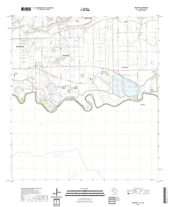
The Rio Grande forms the southern boundary of this borderlands survey, defining the international line between the United States and Mexico. The landscape is dominated by the sophisticated water management systems of the Lower Rio Grande Valley, including the North Floodway, Main Floodway, and several large basins like the Mercedes Settling Basin. These structures reflect the region's historical transformation into a productive agricultural corridor.
Find a feature on this map
74 named features on this map. Tap any name to fly to it.
Don’t see what you’re looking for? This feature index may not catch every label — zoom into the map to look around manually.
Map Details
Date Portrayed2022
Date Published2022
PublisherU.S. Geological Survey
Map TypeTopographic
Scale1:24000
Physical Dimensions24 x 29 inches
Editions of this 2022 Progreso Map
This is the sole edition of this map. No revisions or reprints were ever made.
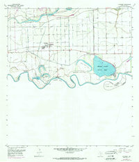
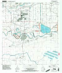
Historical Maps of Toluca Through Time
3 maps found
Featured Locations
Source Details
SourceU.S. Geological Survey
CopyrightPublic Domain