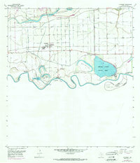
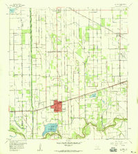
1956 Map of Progreso
USGS Topo · Published 1970About this map
The Rio Grande defines the shifting international boundary in this mid-century survey, where complex river bends and oxbow lakes like Lion Lake and Moon Lake mark the landscape. The intricate water management of the Lower Rio Grande Valley is visible through the Main Supply Canal, the Mercedes District Settling Basin, and an extensive network of elevated ditches. Along the river, historical land divisions such as the Horcon Tract and several numbered bancos, including Santa Margarita Banco No 30, reflect the area's unique geopolitical history and river-driven boundary changes.
Find a feature on this map
36 named features on this map. Tap any name to fly to it.
Don’t see what you’re looking for? This feature index may not catch every label — zoom into the map to look around manually.
Map Details
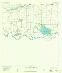
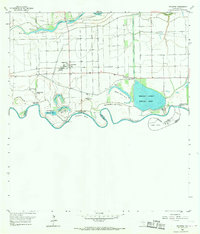
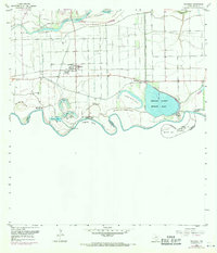
Editions of this 1956 Progreso Map
4 editions found
Other maps of this area

1914 · San Juan
USGS Topo · 1:48,000

1916 · San Juan
USGS Topo · 1:62,500

1929 · Santa Maria
USGS Topo · 1:24,000

1929 · La Feria
USGS Topo · 1:24,000

1936 · La Feria
USGS Topo · 1:31,680

1936 · Santa Maria
USGS Topo · 1:31,680

1949 · Mc Allen
USGS Topo · 1:250,000

1953 · Brownsville
USGS Topo · 1:250,000

1954 · McAllen
USGS Topo · 1:250,000
1956 · La Feria
USGS Topo · 1:24,000