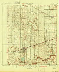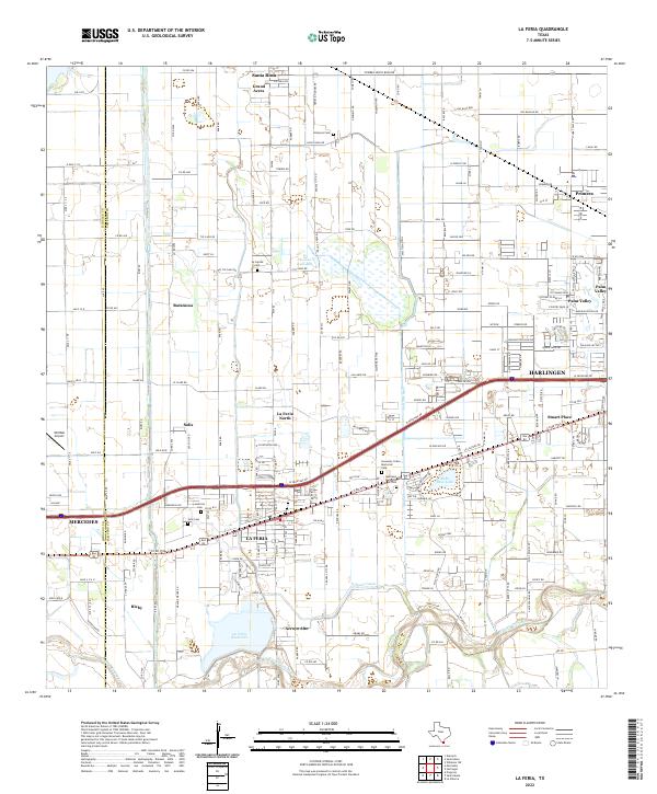
1929 Map of La Feria
USGS Topo · Published 1929About this map
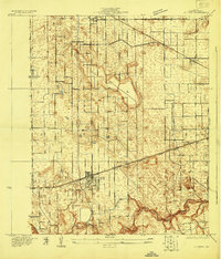
La Feria and surrounding Cameron County settlements appear here during a period of agricultural and infrastructural expansion. The landscape is defined by the sinuous path of the Arroyo Colorado at the southern edge, while the interior is marked by the distinct Lake Bed and an extensive network of irrigation-related features. Transportation corridors drive the layout of the region, with the Southern Pacific and Missouri Pacific railroads running parallel to the primary travel routes. Small educational hubs like Wilson Sch and Stuart Sch are established near the communities of Primera and Stuart Place, providing clear points of interest for genealogists tracing local families during the late 1920s. The border between Hidalgo County and Cameron County is clearly delineated, showing the exact boundary lines that influenced local administration and property ownership in this part of the Rio Grande Valley.
Find a feature on this map
16 named features on this map. Tap any name to fly to it.
Don’t see what you’re looking for? This feature index may not catch every label — zoom into the map to look around manually.
Map Details
Editions of this 1929 La Feria Map
This is the sole edition of this map. No revisions or reprints were ever made.
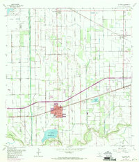
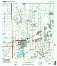
Historical Maps of Harlingen Through Time
9 maps found