Loading...
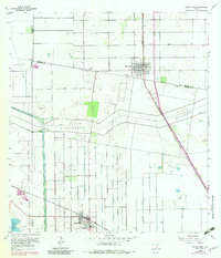
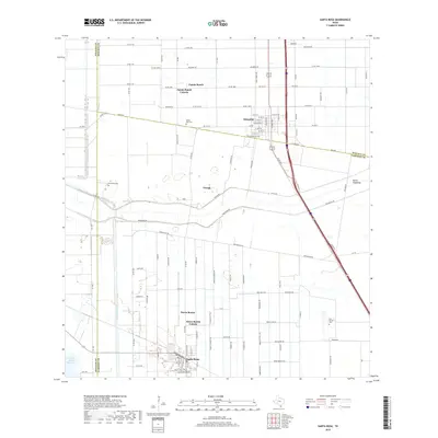
Loading map...1933 Map of Santa Rosa
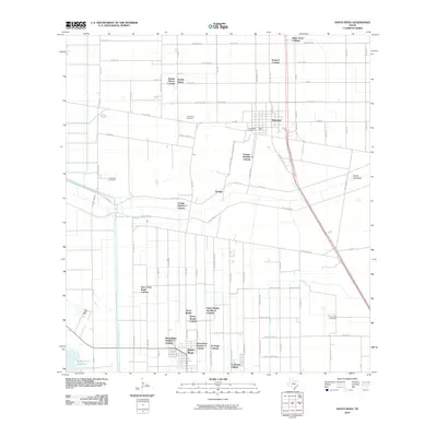
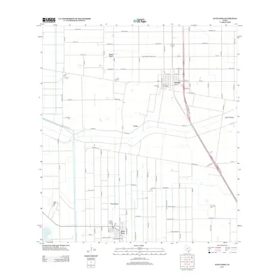
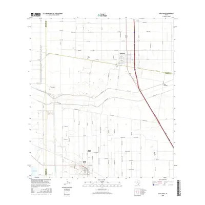
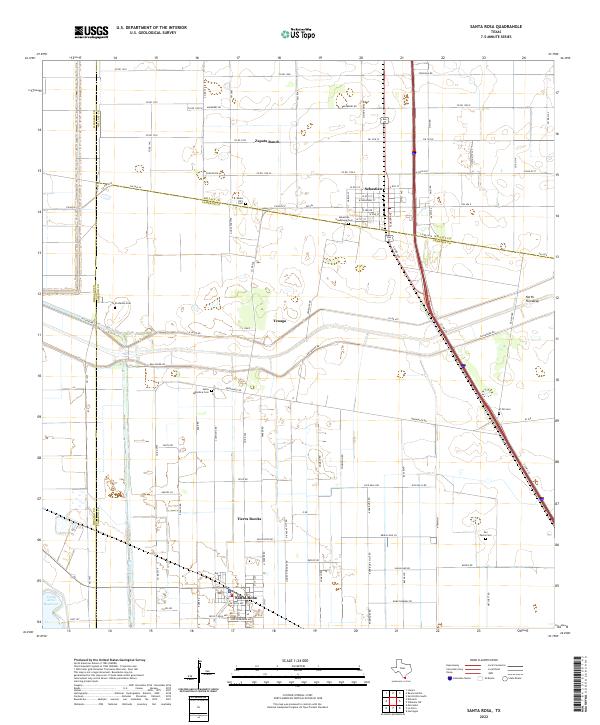
USGS Topo · Published 1933About this map
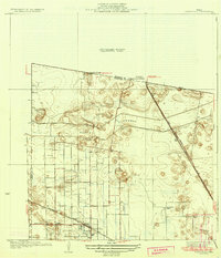
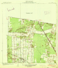
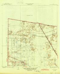
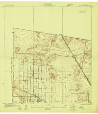
Santa Rosa and the surrounding Rio Grande Valley landscape appear here during a transitional era of hydraulic engineering and agricultural expansion. The dominant feature is the North Floodway, a massive drainage corridor cutting across the coastal plain to manage seasonal runoff. This infrastructure, overseen by County Engineer W. O. Washington, sits alongside a network of irrigation canals that enabled the rise of commercial farming in this corner of South Texas.
Find a feature on this map
13 named features on this map. Tap any name to fly to it.
Don’t see what you’re looking for? This feature index may not catch every label — zoom into the map to look around manually.
Map Details
Date Portrayed1933
Date Published1933
PublisherU.S. Geological Survey
Map TypeTopographic
Scale1:31,680
Physical Dimensions16.9 x 19.7 inches
Editions of this 1933 Santa Rosa Map
3 editions found
Historical Maps of Santa Rosa Through Time
8 maps found
Featured Locations
- S and C Colonia, TX
- Sebastian, TX
- Yznaga Number 1 Colonia, TX
- Tierra Bonita Number 2 Colonia, TX
- Santa Rosa, TX
Source Details
SourceU.S. Geological Survey
CopyrightPublic Domain