
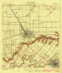
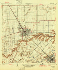
1932 Map of Harlingen
USGS Topo · Published 1932About this map
Harlingen and San Benito anchor this 1932 survey, revealing the intricate irrigation and transportation landscape of Cameron County during the early twentieth-century citrus and agricultural boom. The map meticulously documents the winding course of the Arroyo Colorado and the Resaca De Los Fresnos, highlighting how natural drainage features were integrated into the growing valley infrastructure. The intersection of the Missouri Pacific and Southern Pacific railroads in Harlingen illustrates the city's role as a critical regional shipping hub, while the grid systems of smaller settlements like Combes and Avondale show the organized expansion of the era.
Find a feature on this map
28 named features on this map. Tap any name to fly to it.
Don’t see what you’re looking for? This feature index may not catch every label — zoom into the map to look around manually.
Map Details
Editions of this 1932 Harlingen Map
3 editions found
Other maps of this area

1929 · Rio Hondo
USGS Topo · 1:24,000

1929 · Harlingen
USGS Topo · 1:24,000

1929 · Santa Rosa
USGS Topo · 1:24,000

1929 · Santa Maria
USGS Topo · 1:24,000

1929 · La Feria
USGS Topo · 1:24,000

1929 · La Paloma
USGS Topo · 1:24,000

1930 · Barreda
USGS Topo · 1:24,000

1932 · Combes
USGS Topo · 1:31,680

1932 · Rio Hondo
USGS Topo · 1:31,680

1933 · Santa Rosa
USGS Topo · 1:31,680