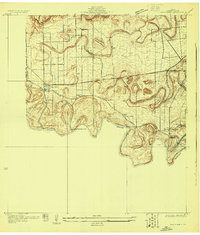
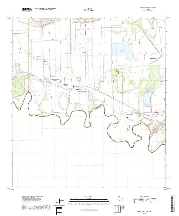
1929 Map of Santa Maria
USGS Topo · Published 1929About this map
The Rio Grande meanders along the international boundary between United States and Mexico, carving out a landscape defined by sharp oxbows and traditional water management. Surveyed in 1929, this sheet reveals the critical irrigation infrastructure of Cameron County, including the Santa Maria Pumping Plant and the La Feria Pumping Plant along the riverbank. These facilities supported the agricultural development of the Lower Rio Grande Valley, linking the river to the interior settlements of Santa Maria and Bluetown.
Find a feature on this map
30 named features on this map. Tap any name to fly to it.
Don’t see what you’re looking for? This feature index may not catch every label — zoom into the map to look around manually.
Map Details
Editions of this 1929 Santa Maria Map
This is the sole edition of this map. No revisions or reprints were ever made.
Historical Maps of La Feria Through Time
9 maps found
1929 Santa Maria
Cameron County, TX
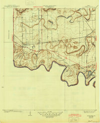
1936 Santa Maria
Cameron County, TX
1956 Santa Maria
Cameron County, TX

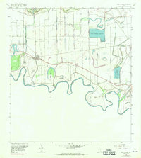
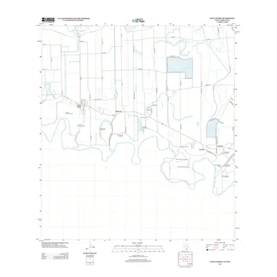
2002 Santa Maria
Cameron County, TX
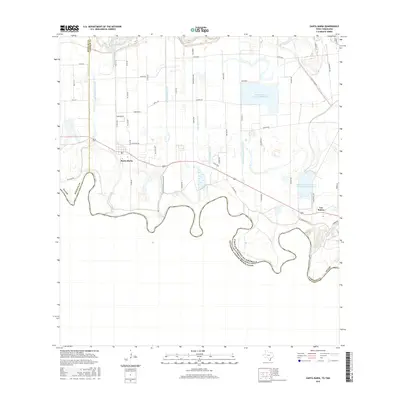
2010 Santa Maria
Cameron County, TX
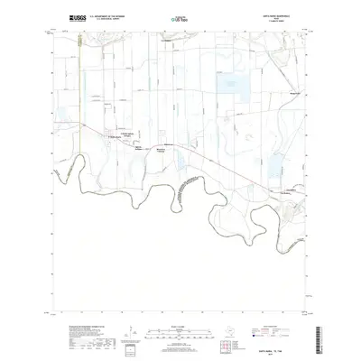
2013 Santa Maria
Cameron County, TX
2016 Santa Maria
Cameron County, TX
2019 Santa Maria
Cameron County, TX
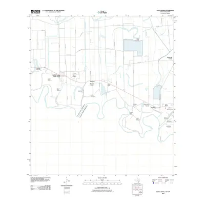
2022 Santa Maria
Cameron County, TX