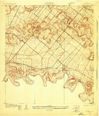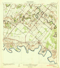
1936 Map of La Paloma
USGS Topo · Published 1936About this map
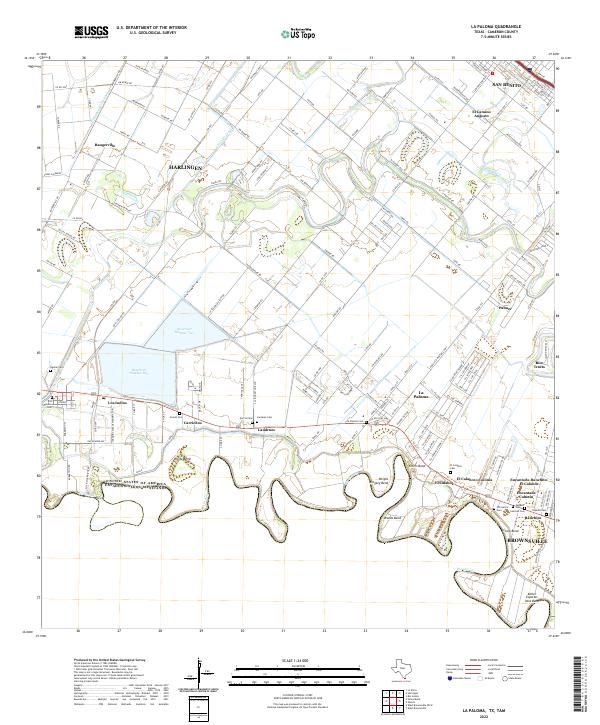
The Rio Grande meanders along the international border between the United States and Mexico in this 1930s survey of Cameron County. The landscape is defined by the unique hydrology of south Texas, featuring numerous oxbow lakes and abandoned river channels known locally as resacas, including Resaca de los Fresnos and Rancho Viejo Resaca. Along the riverbanks, various territorial benches or "bancos" like Capote Banco No 13 and Benavides Banco No 10 mark the shifting course of the water and the boundary line between Texas and Tamaulipas.
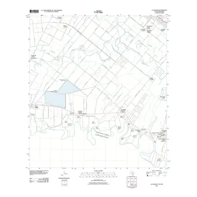
Find a feature on this map
30 named features on this map. Tap any name to fly to it.
Don’t see what you’re looking for? This feature index may not catch every label — zoom into the map to look around manually.
Map Details
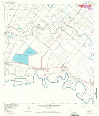
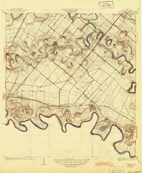
Editions of this 1936 La Paloma Map
2 editions found
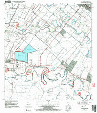
Historical Maps of Brownsville Through Time
9 maps found