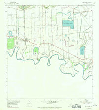
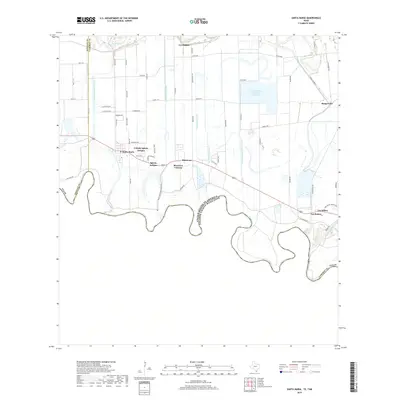
1936 Map of Santa Maria
USGS Topo · Published 1936About this map
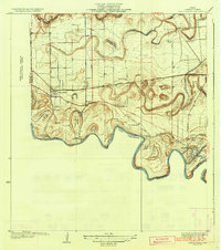
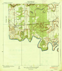
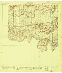
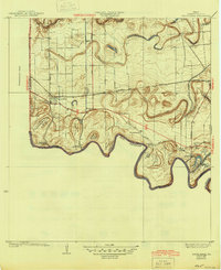
Meandering loops of the Rio Grande define the landscape of southern Cameron County in this 1929 survey. The intricate hydrology of the region is captured through numerous bancos, such as Palma Banco No 25 and Villitas Banco No 24, which mark the river's shifting course and the complex international boundary. Inland, the Resaca de los Fresnos winds through the terrain, flanked by a network of irrigation infrastructure including the Santa Maria Pumping Sta and La Feria Pumping Sta.
Find a feature on this map
31 named features on this map. Tap any name to fly to it.
Don’t see what you’re looking for? This feature index may not catch every label — zoom into the map to look around manually.
Map Details
Editions of this 1936 Santa Maria Map
3 editions found
Historical Maps of La Feria Through Time
9 maps found
1929 Santa Maria
Cameron County, TX
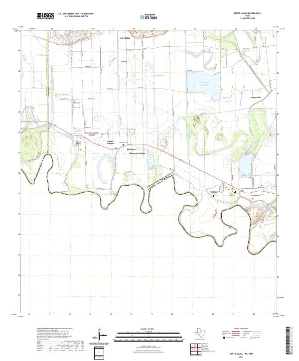
1936 Santa Maria
Cameron County, TX
1956 Santa Maria
Cameron County, TX

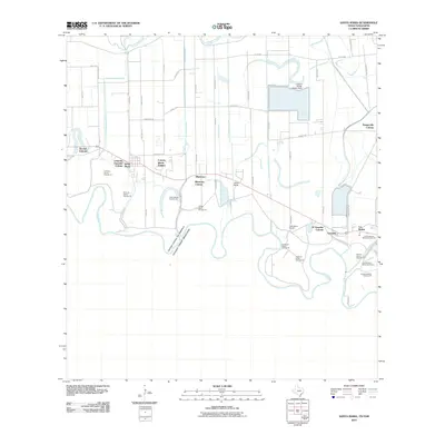
2002 Santa Maria
Cameron County, TX
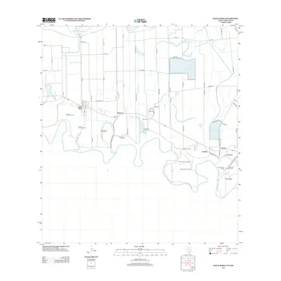
2010 Santa Maria
Cameron County, TX
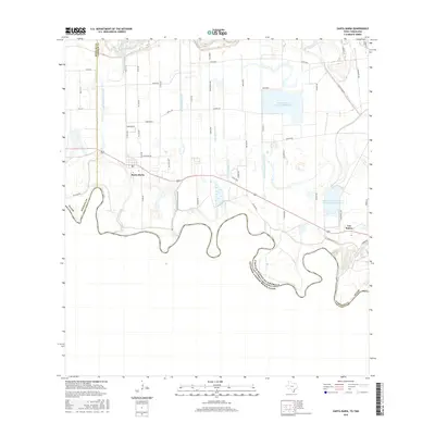
2013 Santa Maria
Cameron County, TX
2016 Santa Maria
Cameron County, TX
2019 Santa Maria
Cameron County, TX
2022 Santa Maria
Cameron County, TX