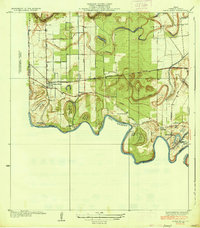
1936 Map of Santa Maria
USGS Topo · Published 1936About this map
The serpentine Rio Grande forms a complex international boundary in this 1929 survey of Cameron County, revealing a landscape defined by its ancient river channels and modern irrigation infrastructure. The map details numerous river bancos, such as Palma Banco No 25 and Soliseno Banco No 23, which are remnants of the shifting border between the United States and Mexico. Large-scale agricultural development is evident through the network of pumping stations, including the Santa Maria Pumping Sta and La Feria Pumping Sta, which drew water into the surrounding fields.
Find a feature on this map
46 named features on this map. Tap any name to fly to it.
Don’t see what you’re looking for? This feature index may not catch every label — zoom into the map to look around manually.
Map Details
Editions of this 1936 Santa Maria Map
3 editions found
Other maps of this area

1929 · Harlingen
USGS Topo · 1:24,000

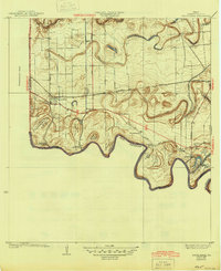
1929 · Santa Maria
USGS Topo · 1:24,000

1929 · La Feria
USGS Topo · 1:24,000

1929 · La Paloma
USGS Topo · 1:24,000

1932 · Harlingen
USGS Topo · 1:31,680

1936 · La Feria
USGS Topo · 1:31,680

1936 · Santa Maria
USGS Topo · 1:31,680
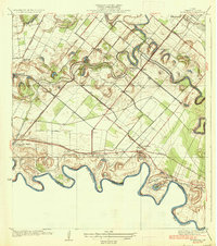
1936 · La Paloma
USGS Topo · 1:31,680

1953 · Brownsville
USGS Topo · 1:250,000
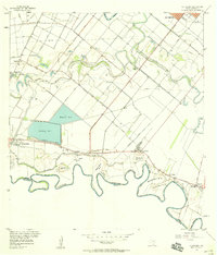
1956 · La Paloma
USGS Topo · 1:24,000