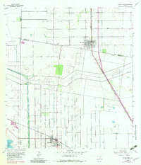
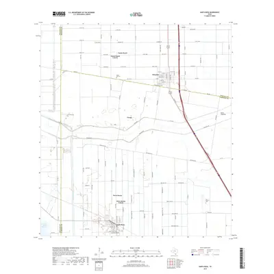
1933 Map of Santa Rosa
USGS Topo · Published 1933About this map
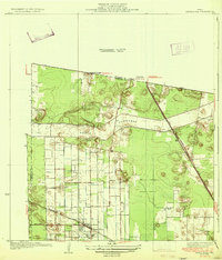
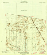
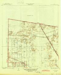
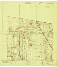
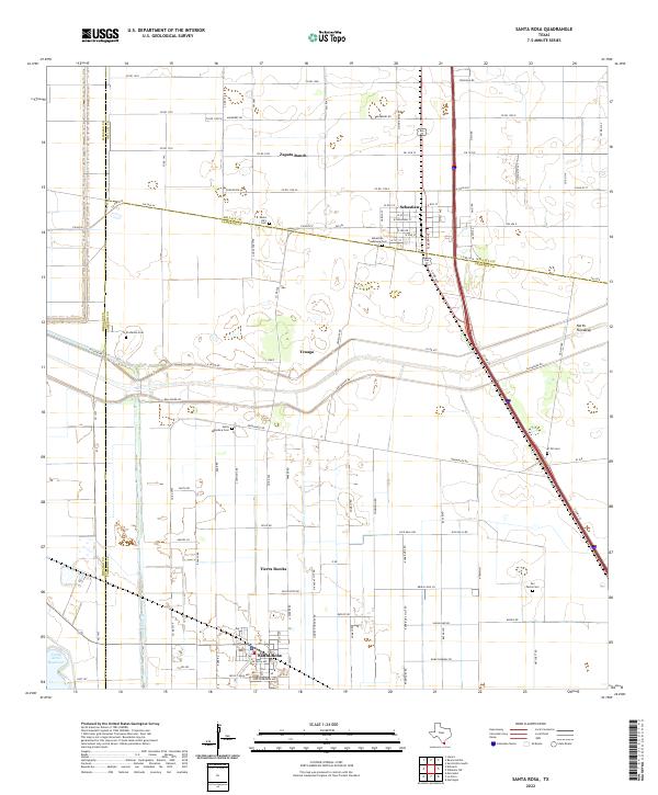
Santa Rosa and the surrounding South Texas agricultural landscape are defined by a complex network of irrigation and water management infrastructure during the early 1930s. The massive North Floodway cuts a wide swath across the terrain, reflecting the engineering required to manage seasonal water in Cameron County. This survey highlights a transition from traditional large landholdings like Santa Rita Ranch, Asadon Ranch, and San Rafael Ranch toward more intensive irrigation farming, evidenced by the gridded road system near West Road. Transportation centers on the dual presence of the Missouri Pacific and Southern Pacific railroads, which facilitated the movement of valley produce. In the northern section, the community of Sebastian sits at the junction of the rail lines and State Highway No 96, serving as a vital link between the rural ranches and larger regional markets.
Find a feature on this map
13 named features on this map. Tap any name to fly to it.
Don’t see what you’re looking for? This feature index may not catch every label — zoom into the map to look around manually.
Map Details
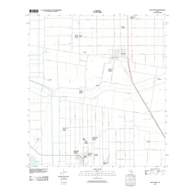
Editions of this 1933 Santa Rosa Map
3 editions found
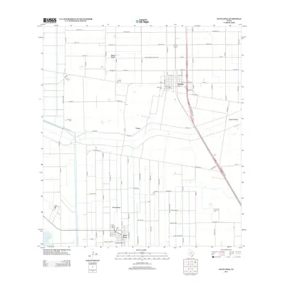
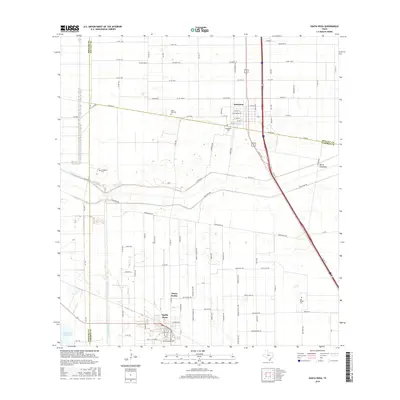
Historical Maps of Santa Rosa Through Time
8 maps found
Featured Locations
- S and C Colonia, TX
- Sebastian, TX
- Yznaga Number 1 Colonia, TX
- Tierra Bonita Number 2 Colonia, TX
- Santa Rosa, TX