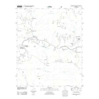
2011 Map of Promontory Butte
USGS Topo · Published 2011About this map
Christopher Creek and Kohls Ranch serve as central hubs in this landscape of high plateaus and deep drainage basins. The map illustrates a complex of recreational and residential developments, including the Thompson Draw Summer Homes and Mountain Meadows. The presence of numerous specialized ranch properties such as Wipala Wiki Ranch and the R Bar C Scout Ranch reflects the area's long-standing transition from traditional livestock grazing to organized camps and seasonal residency. Tonto Creek and its many tributaries, including Horton Creek and Hunter Creek, carve through the terrain, punctuated by landmarks like Promontory Butte and Kushs Mountain. Cultural footprints are visible in the distribution of water features like Schoolhouse Tank and Bearhide Spring, which supported human activity in this vertical landscape. The map also detail the infrastructure of the Tonto National Forest, showing a network of fire roads and trails including the Christopher Mt Fire Control Rd.
Find a feature on this map
70 named features on this map. Tap any name to fly to it.
Don’t see what you’re looking for? This feature index may not catch every label — zoom into the map to look around manually.
Map Details
Editions of this 2011 Promontory Butte Map
This is the sole edition of this map. No revisions or reprints were ever made.
Other maps of this area

1886 · Holbrook
USGS Topo · 1:250,000

1887 · Verde
USGS Topo · 1:250,000

1892 · Verde
USGS Topo · 1:250,000

1893 · Holbrook
USGS Topo · 1:250,000

1934 · Promontory Butte
USGS Topo · 1:62,500

1937 · Diamond Butte
USGS Topo · 1:48,000

1939 · Promontory Butte
USGS Topo · 1:62,500

1943 · Diamond Butte
USGS Topo · 1:62,500

1952 · Promontory Butte
USGS Topo · 1:62,500

1954 · Holbrook
USGS Topo · 1:250,000
Featured Places
- Christopher Creek, AZ
- Thompson Draw Summer Homes Unit #1, AZ
- Bear Flat, AZ
- Hunter Creek, AZ
- Christopher Creek, AZ