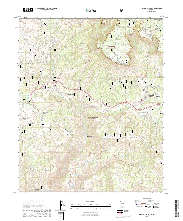
2021 Map of Promontory Butte
USGS Topo · Published 2021About this map
Kohls Ranch and Christopher Creek serve as the primary human outposts along the transition between the Mogollon Rim and the deep canyons to the south. This 2021 study details the boundary between the Sitgreaves National Forest and the Tonto National Forest, showcasing a landscape dominated by complex drainage systems and volcanic-capped mesas like Promontory Butte. The map illustrates a dense network of forest service trails and cattle infrastructure, including numerous stock tanks such as Scout Tank and Mescal Ridge Tank Number Two. The legendary General Crook Trl and the extensive Highline Trl trace the dramatic topography of the rim, while isolated settlements like Bear Flat remain tucked into the deep valleys created by Tonto Cr and its tributaries.
Find a feature on this map
86 named features on this map. Tap any name to fly to it.
Don’t see what you’re looking for? This feature index may not catch every label — zoom into the map to look around manually.
Map Details
Editions of this 2021 Promontory Butte Map
This is the sole edition of this map. No revisions or reprints were ever made.
Other maps of this area

1886 · Holbrook
USGS Topo · 1:250,000

1887 · Verde
USGS Topo · 1:250,000

1892 · Verde
USGS Topo · 1:250,000

1893 · Holbrook
USGS Topo · 1:250,000

1934 · Promontory Butte
USGS Topo · 1:62,500

1937 · Diamond Butte
USGS Topo · 1:48,000

1939 · Promontory Butte
USGS Topo · 1:62,500

1943 · Diamond Butte
USGS Topo · 1:62,500

1952 · Promontory Butte
USGS Topo · 1:62,500

1954 · Holbrook
USGS Topo · 1:250,000