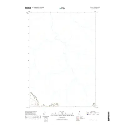
2018 Map of Prospect Hill
USGS Topo · Published 2018About this map
The international border between the United States of America and Canada defines this northern landscape in Coos County. This modern survey illustrates the remote wilderness character of the region, where the primary infrastructure is the rugged Us - Canada Border Rd tracking the boundary line. The map highlights the intricate hydrography of the upper reaches of the Connecticut River watershed, showing the dense network of unnamed streams and tributaries that feed the regional lakes. Unlike more developed areas, this map is dominated by natural terrain features and the political line separating New Hampshire from Quebec, providing a detailed look at the land as it existed in 2018.
Find a feature on this map
3 named features on this map. Tap any name to fly to it.
Don’t see what you’re looking for? This feature index may not catch every label — zoom into the map to look around manually.
Map Details
Editions of this 2018 Prospect Hill Map
This is the sole edition of this map. No revisions or reprints were ever made.
Other maps of this area

1925 · Indian Stream
USGS Topo · 1:48,000

1926 · Indian Stream
USGS Topo · 1:62,500

1927 · Indian Stream
USGS Topo · 1:62,500

1927 · Moose Bog
USGS Topo · 1:48,000

1927 · Second Lake
USGS Topo · 1:62,500

1931 · Moose Bog
USGS Topo · 1:62,500

1932 · Second Lake
USGS Topo · 1:62,500

1949 · Jackman
USGS Topo · 1:250,000

1963 · Jackman
USGS Topo · 1:250,000

1966 · Sherbrooke
USGS Topo · 1:250,000