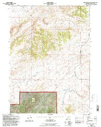
1992 Map of Protsmans Knob
USGS Topo · Published 1996About this map
Protsmans Knob rises above a complex drainage system in this Wyoming landscape, where the northern reaches of the Medicine Bow National Forest meet the high plains. The terrain is defined by the sharp elevations of Rocky Ridge and the dissecting waters of Deer Creek, Little Deer Creek, and Willow Creek. Human presence is marked by isolated landmarks like the Miller Cabin and an old prospect site in the northeast corner, reflecting the region's history of ranching and exploration.
Find a feature on this map
30 named features on this map. Tap any name to fly to it.
Don’t see what you’re looking for? This feature index may not catch every label — zoom into the map to look around manually.
Map Details
Editions of this 1992 Protsmans Knob Map
This is the sole edition of this map. No revisions or reprints were ever made.
Other maps of this area

1949 · Parkerton
USGS Topo · 1:24,000

1949 · Glenrock
USGS Topo · 1:24,000

1950 · Lockett
USGS Topo · 1:24,000

1950 · Parkerton
USGS Topo · 1:24,000

1950 · Glenrock
USGS Topo · 1:24,000

1954 · Torrington
USGS Topo · 1:250,000

1955 · Casper
USGS Topo · 1:250,000

1958 · Casper
USGS Topo · 1:250,000

1958 · Torrington
USGS Topo · 1:250,000

1960 · Banner Mtn
USGS Topo · 1:24,000