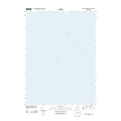
2012 Map of Provincetown OE W
USGS Topo · Published 2012About this map
The Atlantic Ocean dominates this offshore survey, capturing the open waters of Massachusetts Bay at a point northwest of the tip of Cape Cod. While largely a maritime record, the sheet marks the distinct navigational path of the Boston - Provincetown Ferry Crossing. This diagonal line represents a modern continuation of a long-standing coastal transit route, linking the state capital to the historic harbor at the end of the peninsula. The absence of terrestrial features or bathymetric contours focuses the document entirely on the surface geography and official maritime transit corridors in the early twenty-first century.
Find a feature on this map
2 named features on this map. Tap any name to fly to it.
Don’t see what you’re looking for? This feature index may not catch every label — zoom into the map to look around manually.
Map Details
Editions of this 2012 Provincetown OE W Map
This is the sole edition of this map. No revisions or reprints were ever made.
Other maps of this area

1887 · Provincetown
USGS Topo · 1:62,500

1889 · Provincetown
USGS Topo · 1:62,500

1898 · Provincetown
USGS Topo · 1:62,500

1942 · Cape Cod Bay
USGS Topo · 1:125,000

1944 · Provincetown
USGS Topo · 1:31,680

1947 · Providence
USGS Topo · 1:250,000

1948 · Boston
USGS Topo · 1:250,000

1948 · Providence
USGS Topo · 1:250,000
1949 · Provincetown
USGS Topo · 1:31,680

1956 · Boston
USGS Topo · 1:250,000