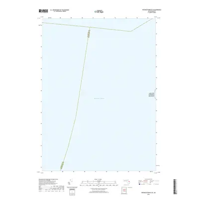
2018 Map of Provincetown OE W
USGS Topo · Published 2018About this map
The vast waters of the Atlantic Ocean dominate this coastal survey, documenting the maritime boundary between the Massachusetts mainland and the outer Cape. A narrow strip of the Cape Cod National Seashore appears along the eastern margin, indicating the preserved shoreline of the Provincetown area. This map is primarily a study of the nautical and administrative division between Plymouth Co and Barnstable Co, tracing the submerged county lines through the open sea. The absence of terrestrial features reflects the nautical character of this specific quadrangle, making it a specialized resource for understanding the offshore extent of these historic maritime districts.
Find a feature on this map
3 named features on this map. Tap any name to fly to it.
Don’t see what you’re looking for? This feature index may not catch every label — zoom into the map to look around manually.
Map Details
Editions of this 2018 Provincetown OE W Map
This is the sole edition of this map. No revisions or reprints were ever made.
Other maps of this area

1887 · Provincetown
USGS Topo · 1:62,500

1889 · Provincetown
USGS Topo · 1:62,500

1898 · Provincetown
USGS Topo · 1:62,500

1942 · Cape Cod Bay
USGS Topo · 1:125,000

1944 · Provincetown
USGS Topo · 1:31,680

1947 · Providence
USGS Topo · 1:250,000

1948 · Boston
USGS Topo · 1:250,000

1948 · Providence
USGS Topo · 1:250,000
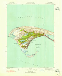
1949 · Provincetown
USGS Topo · 1:31,680

1956 · Boston
USGS Topo · 1:250,000