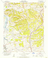
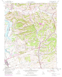
1954 Map of Prunedale
USGS Topo · Published 1956About this map
Elkhorn Slough and the winding coastal wetlands of Monterey County define this mid-century landscape, where the Southern Pacific railroad cuts through the lowlands near Castroville. The map illustrates a complex network of agricultural and ranching land partitioned by historic land grants like Bolsa Nueva y Moro Cojo and Bolsa de las Lomas. Small settlements such as Prunedale and Hall are connected by a web of canyon roads, including San Miguel Canyon Road and Carpenteria Road, which trace the narrow valleys of the coastal range. This 1950s survey captures the area before modern coastal development, showing numerous windmills and water tanks scattered across the foothills and sloughs like Moro Cojo Slough and Tembladero Slough, indicating the intensive groundwater management required for the region's farming economy.
Find a feature on this map
47 named features on this map. Tap any name to fly to it.
Don’t see what you’re looking for? This feature index may not catch every label — zoom into the map to look around manually.
Map Details
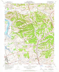
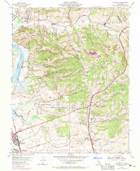
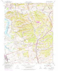
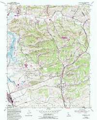
Editions of this 1954 Prunedale Map
6 editions found
Other maps of this area

1910 · Salinas
USGS Topo · 1:31,680

1912 · Salinas
USGS Topo · 1:62,500

1912 · Capitola
USGS Topo · 1:62,500

1913 · Monterey
USGS Topo · 1:62,500

1914 · Capitola
USGS Topo · 1:62,500

1915 · San Juan Bautista
USGS Topo · 1:48,000

1917 · San Juan Bautista
USGS Topo · 1:62,500

1939 · San Juan Bautista
USGS Topo · 1:62,500

1940 · San Juan Bautista
USGS Topo · 1:62,500

1940 · Salinas
USGS Topo · 1:62,500