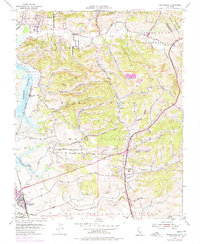
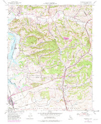
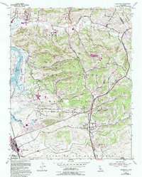
1954 Map of Prunedale
USGS Topo · Published 1978About this map
Castroville and the tidal reaches of Elkhorn Slough anchor this mid-century portrait of coastal Monterey County. The landscape is defined by the legacy of Mexican-era land grants, including Bolsa Nueva y Moro Cojo and Bolsa del Potrero y Moro Cojo, where the terrain transitions from the low-lying Moro Cojo Slough to the complex canyon systems of the Gabilan Range. In the hills, numerous named ravines like Strawberry Canyon and Paradise Canyon illustrate the dissected topography where early 20th-century agriculture and ranching took hold.
Find a feature on this map
38 named features on this map. Tap any name to fly to it.
Don’t see what you’re looking for? This feature index may not catch every label — zoom into the map to look around manually.
Map Details
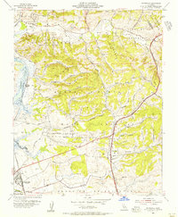
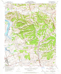
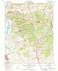
Editions of this 1954 Prunedale Map
6 editions found
Other maps of this area

1910 · Salinas
USGS Topo · 1:31,680

1912 · Salinas
USGS Topo · 1:62,500

1912 · Capitola
USGS Topo · 1:62,500

1913 · Monterey
USGS Topo · 1:62,500

1914 · Capitola
USGS Topo · 1:62,500

1915 · San Juan Bautista
USGS Topo · 1:48,000

1917 · San Juan Bautista
USGS Topo · 1:62,500

1939 · San Juan Bautista
USGS Topo · 1:62,500

1940 · San Juan Bautista
USGS Topo · 1:62,500

1940 · Salinas
USGS Topo · 1:62,500