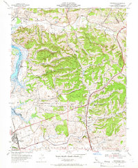
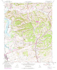
1954 Map of Prunedale
USGS Topo · Published 1966About this map
Elkhorn Slough and the winding course of Tembladero Slough define the coastal lowlands of this Monterey County landscape in the mid-1950s. The settlement of Castroville sits near the southern edge, connected to the broader region by the Southern Pacific railroad and U.S. Highway 101. The geography is characterized by a complex series of canyons, such as Strawberry Canyon and San Miguel Canyon, that carve through the Bolsa lands.
Find a feature on this map
51 named features on this map. Tap any name to fly to it.
Don’t see what you’re looking for? This feature index may not catch every label — zoom into the map to look around manually.
Map Details
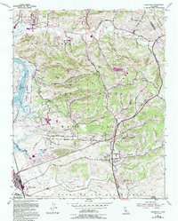
Editions of this 1954 Prunedale Map
6 editions found
Other maps of this area

1910 · Salinas
USGS Topo · 1:31,680

1912 · Salinas
USGS Topo · 1:62,500

1912 · Capitola
USGS Topo · 1:62,500

1913 · Monterey
USGS Topo · 1:62,500

1914 · Capitola
USGS Topo · 1:62,500

1915 · San Juan Bautista
USGS Topo · 1:48,000

1917 · San Juan Bautista
USGS Topo · 1:62,500

1939 · San Juan Bautista
USGS Topo · 1:62,500

1940 · San Juan Bautista
USGS Topo · 1:62,500

1940 · Salinas
USGS Topo · 1:62,500