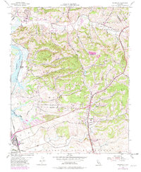
1954 Map of Prunedale
USGS Topo · Published 1982About this map
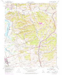
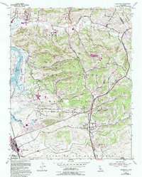
The agricultural and coastal landscape of northern Monterey County unfolds across this 1954 survey, updated with purple revisions from 1978. The intricate waterways of Elkhorn Slough, Moro Cojo Slough, and Tembladero Slough dominate the western edge, illustrating the complex tidal environment near Castroville. Inland, the terrain is defined by a series of narrow canyons including Strawberry Canyon, Paradise Canyon, and Echo Valley, which cut through the uplifted marine terraces.
Find a feature on this map
44 named features on this map. Tap any name to fly to it.
Don’t see what you’re looking for? This feature index may not catch every label — zoom into the map to look around manually.
Map Details
Editions of this 1954 Prunedale Map
6 editions found
Other maps of this area

1910 · Salinas
USGS Topo · 1:31,680

1912 · Salinas
USGS Topo · 1:62,500

1912 · Capitola
USGS Topo · 1:62,500

1913 · Monterey
USGS Topo · 1:62,500

1914 · Capitola
USGS Topo · 1:62,500

1915 · San Juan Bautista
USGS Topo · 1:48,000

1917 · San Juan Bautista
USGS Topo · 1:62,500

1939 · San Juan Bautista
USGS Topo · 1:62,500

1940 · San Juan Bautista
USGS Topo · 1:62,500

1940 · Salinas
USGS Topo · 1:62,500