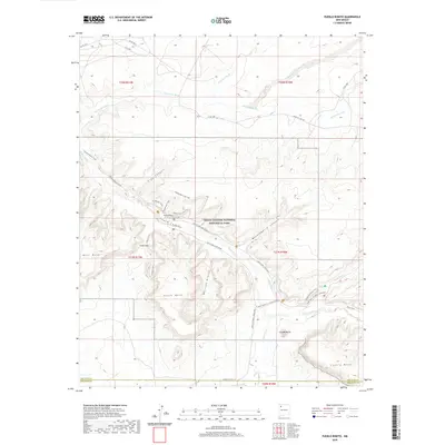
2020 Map of Pueblo Bonito
USGS Topo · Published 2020About this map
Chaco Culture National Historical Park preserves a landscape of ancient masonry and complex water systems in the high desert. At the heart of this terrain lies Pueblo Bonito, a massive planned structure adjacent to Chaco Wash. The map reveals an intricate network of modern pathways following ancestral routes, including the Chetro Ketl Trail, the Penasco Blanco Trail, and the Wijiji Trail. Surrounding these central sites are prominent landforms like the steep Fajada Butte and the broad Chacra Mesa, which define the canyon's boundaries. The hydrological patterns of the region are clearly marked by numerous ephemeral drainages such as Escavada Wash and Gallo Wash, illustrating how the topography naturally funnels seasonal runoff through Clys Canyon and Mockingbird Canyon.
Find a feature on this map
41 named features on this map. Tap any name to fly to it.
Don’t see what you’re looking for? This feature index may not catch every label — zoom into the map to look around manually.
Map Details
Editions of this 2020 Pueblo Bonito Map
This is the sole edition of this map. No revisions or reprints were ever made.
Other maps of this area

1883 · Mt. Taylor
USGS Topo · 1:250,000

1886 · Wingate
USGS Topo · 1:250,000

1886 · Mt. Taylor
USGS Topo · 1:250,000

1889 · Largo
USGS Topo · 1:250,000

1889 · Chaco
USGS Topo · 1:250,000

1892 · Wingate
USGS Topo · 1:250,000

1892 · Chaco
USGS Topo · 1:250,000

1892 · Mt. Taylor
USGS Topo · 1:250,000

1895 · Largo
USGS Topo · 1:250,000

1899 · Mt. Taylor
USGS Topo · 1:250,000