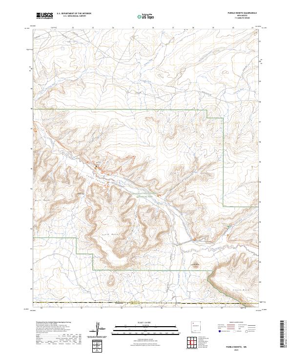
2023 Map of Pueblo Bonito
USGS Topo · Published 2023About this map
Chaco Culture National Historical Park anchors this landscape in San Juan County, revealing an intricate network of ancient paths and geological formations. The terrain is defined by dramatic elevations and seasonal watercourses, including Chaco Wash and Escavada Wash, which have carved deep channels like Mockingbird Canyon and Cly's Canyon. The map documents the relationship between modern access and ancestral sites, with the North Side Loop Road and South Side Loop Road providing transit through the canyon floor.
Find a feature on this map
41 named features on this map. Tap any name to fly to it.
Don’t see what you’re looking for? This feature index may not catch every label — zoom into the map to look around manually.
Map Details
Editions of this 2023 Pueblo Bonito Map
This is the sole edition of this map. No revisions or reprints were ever made.
Other maps of this area

1883 · Mt. Taylor
USGS Topo · 1:250,000

1886 · Wingate
USGS Topo · 1:250,000

1886 · Mt. Taylor
USGS Topo · 1:250,000

1889 · Largo
USGS Topo · 1:250,000

1889 · Chaco
USGS Topo · 1:250,000

1892 · Wingate
USGS Topo · 1:250,000

1892 · Chaco
USGS Topo · 1:250,000

1892 · Mt. Taylor
USGS Topo · 1:250,000

1895 · Largo
USGS Topo · 1:250,000

1899 · Mt. Taylor
USGS Topo · 1:250,000